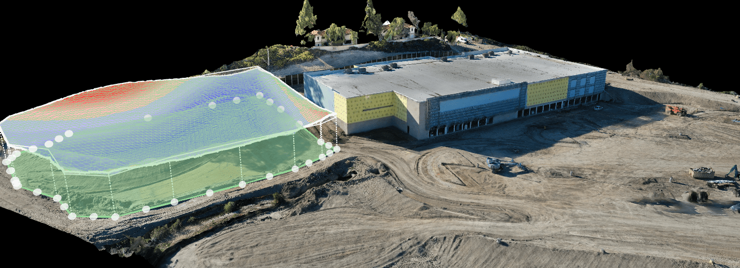
Our drone 3D imaging services can create a literal illustration by scanning the site from the sky. We have the ability to virtually document every stage of your construction project by capturing every angle of the entire site. The 3D imaging can capture your construction site in order to:
- Measure volume and slope at a project’s location
- Automatically detect and count objects like trees, cars, or stockpiles
- Manage inventory, including materials and equipment entering or leave a site
Plus, the software we use keeps all your historical and current data in one place so that you can create 2D maps, 3D images, site photos, panoramas, and videos, allowing collaborations from anywhere. Using photogrammetry, captured drone data can help you keep an eye on assets at your convenience instead of exhausting hours operating at the construction site. Volumetric estimation and stockpile measurements can also save you in time and funds.
Utilize the latest tool in construction and design!
Drones are a flexible technology, which means we can adapt to your project’s needs. What’s more, our operators are equally adaptable and experienced. Get more information today on how we can put that expertise to use for you by capturing stunning, thorough views of your project from the air.

